
Severe Tropical Storm Domeng Moves West Northwestward
Weather conditions influenced by STS Domeng and Southwesterly Windflow across parts of the Philippines.
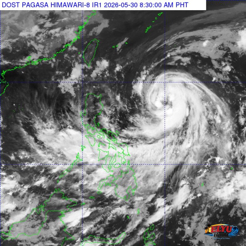
Screenshot from PAGASA's Himawari-8 viewer, credit DOST-PAGASA
According to PAGASA, Severe Tropical Storm “DOMENG” {JANGMI} was located 980 km East of Northern Luzon (16.9°N 130.9°E) as of 3:00 AM today, May 30. The storm is moving West Northwestward at 15 km/h, carrying maximum sustained winds of 95 km/h near its center and gustiness of up to 115 km/h.
The trough of STS DOMENG is expected to bring cloudy skies with scattered rains and thunderstorms to the Bicol Region, Batanes, Ilocos Norte, Apayao, Cagayan, Quezon, Northern Samar, Eastern Samar, and Samar. Residents in these areas should prepare for possible flash floods or landslides due to moderate to at times heavy rains.
Meanwhile, a Southwesterly Windflow is affecting Visayas, Mindanao, and the western section of Southern Luzon. This will result in cloudy skies with scattered rains and thunderstorms over MIMAROPA, Western Visayas, Negros Island Region, Zamboanga Peninsula, SOCCSKSARGEN, BARMM, Batangas, and Lanao del Norte, also posing a risk of flash floods or landslides.
La Union and the rest of the country will experience partly cloudy to cloudy skies with isolated rainshowers or thunderstorms, primarily due to localized thunderstorms. These conditions may also lead to flash floods or landslides during severe thunderstorms.
Coastal waters in Northern Luzon, including La Union will be moderate to rough, with wave heights ranging from 1.2 to 2.8 meters. Central Luzon and the eastern section of Southern Luzon will have slight to moderate coastal waters (0.6 to 2.1 meters), while the rest of the country will see slight to moderate conditions (0.6 to 1.8 meters).
SOURCE: PAGASA