
Tropical Depression Ester and Monsoon Bring Rains to Luzon
Ilocos Region, including La Union, braces for occasional rains and potential flash floods
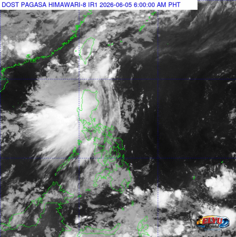
Screenshot from PAGASA's Himawari-8 viewer, credit DOST-PAGASA
According to PAGASA, Tropical Depression Ester has maintained its strength while moving northeastward at 20 kilometers per hour northwest of Batanes, triggering rains and strong winds across Northern and Central Luzon on June 5, 2026. The state weather bureau located the center of the tropical depression 220 kilometers northwest of Itbayat, Batanes, packing maximum sustained winds of 45 kilometers per hour and gusts of up to 55 kilometers per hour.
The Southwest Monsoon, locally known as the wet season winds or Habagat, is currently affecting Northern and Central Luzon. This weather system is expected to bring occasional moderate to heavy, and at times intense, rains across the Ilocos Region, which includes the province of La Union.
Local disaster risk reduction offices warn of possible flash floods and landslides in low-lying and mountainous areas due to the continuous rainfall. Coastal waters in Northern and Central Luzon are forecast to be moderate to rough, with wave heights reaching up to 3.4 meters, posing potential risks for small seacraft.
Meanwhile, Batanes will experience direct rains with gusty winds caused by Tropical Depression Ester. Metro Manila and the rest of Luzon will face cloudy skies with scattered rain showers, while the rest of the country can expect isolated thunderstorms.
Temperature extremes recorded yesterday at PAGASA’s Quezon City station reached a high of 31.8°C at 12:00 PM and a low of 25.4°C at 6:00 AM.
SOURCE: PAGASA