
Southwest Monsoon Brings Scattered Rains to Northern Luzon
La Union and neighboring Ilocos provinces still strongly affected by Habagat.
AI Generated Illustration
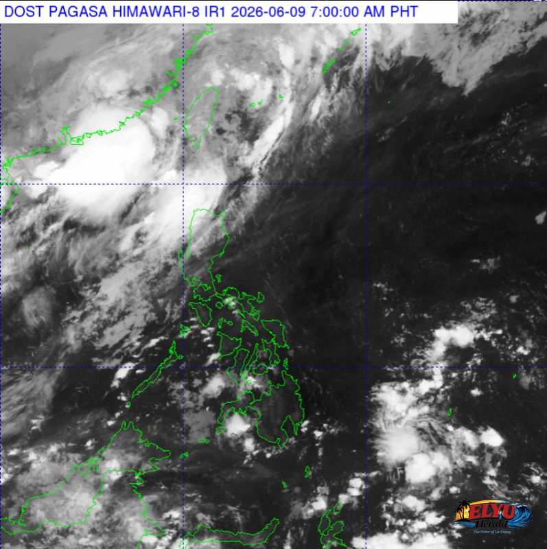
According to PAGASA in its 4:00 AM weather forecast on June 9, 2026, the southwest monsoon is currently affecting the western sections of Northern and Central Luzon, bringing cloudy skies, scattered rains, and thunderstorms to the region. The weather bureau warned that moderate to heavy rains could trigger flash floods and landslides in vulnerable areas.
In the province of La Union, which lies within the affected Ilocos Region, local government units and disaster response teams are monitoring low-lying and mountainous areas. Coastal municipalities such as San Juan, Bauang, and the city of San Fernando are on alert for potential localized flooding. The weather bureau noted that the moderate to at times heavy rains pose a direct risk of landslides in elevated terrains.
The weather disturbance, commonly referred to as the Habagat, is also bringing similar wet conditions to Batanes, the Babuyan Islands, and Zambales. Residents in these northern and western areas are advised to secure their properties and monitor local weather advisories.
In addition to the rainfall, PAGASA issued warnings regarding maritime conditions in Northern Luzon. The region is expected to experience moderate to strong winds blowing from the south to southwest. These winds will generate moderate to rough coastal waters, with wave heights estimated between 1.5 and 3.1 meters.
Due to these rough seas, fisherfolk and operators of small sea vessels in La Union’s coastal barangays are advised to take safety precautions or avoid sailing if conditions worsen. In contrast, the rest of the country, including Metro Manila, will experience lighter winds from the southeast to southwest, resulting in slight to moderate seas with wave heights of 0.6 to 1.5 meters.
For the rest of the Philippines, the weather will remain relatively calmer, characterized by partly cloudy to cloudy skies. Any rain in these areas will be limited to isolated rain showers or thunderstorms caused by localized weather systems rather than the monsoon. However, PAGASA warned that severe localized thunderstorms could still trigger sudden flash floods or landslides.
Looking at yesterday’s temperature data recorded at the PAGASA Weather Station in Diliman, Quezon City, the maximum temperature reached 32.5 °C at 3:00 PM, while the minimum temperature dropped to 26.5 °C at 5:00 AM. The relative humidity ranged from a high of 89 percent at 5:00 AM to a low of 58 percent at 11:00 AM.
SOURCE: PAGASA